Silver Forest Sunset
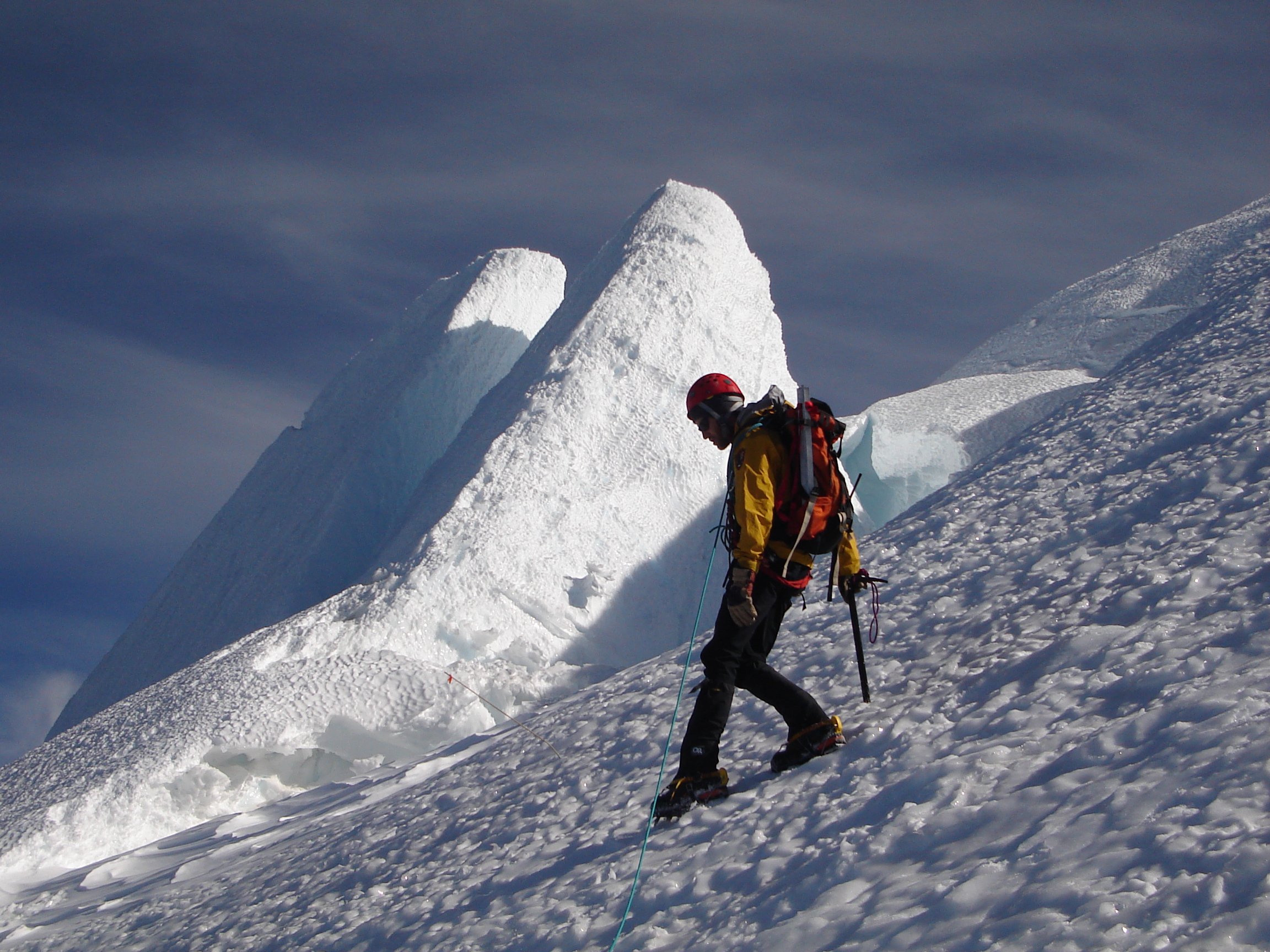
Climbing Mount Rainier
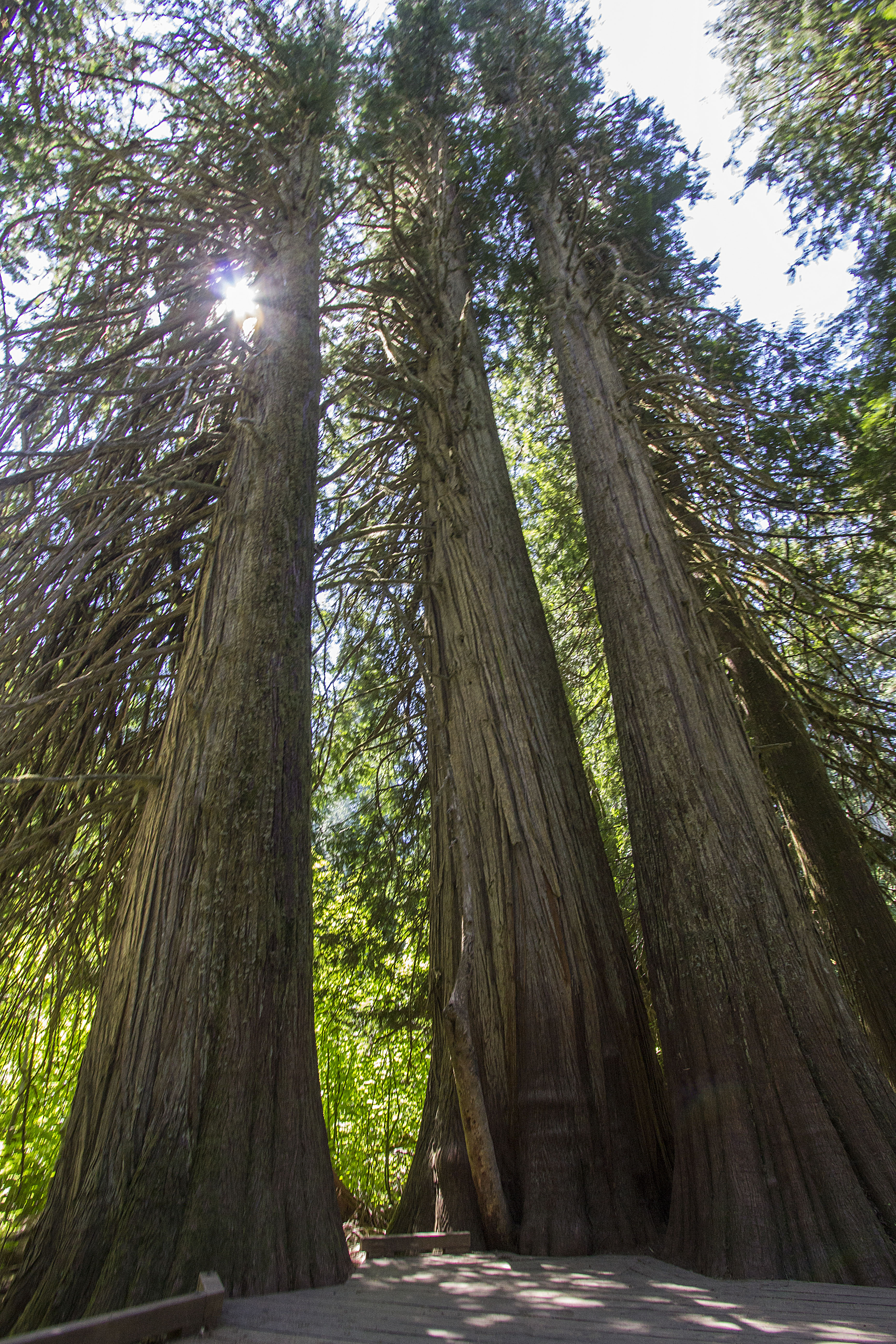
Giants of the Old-Growth Forest
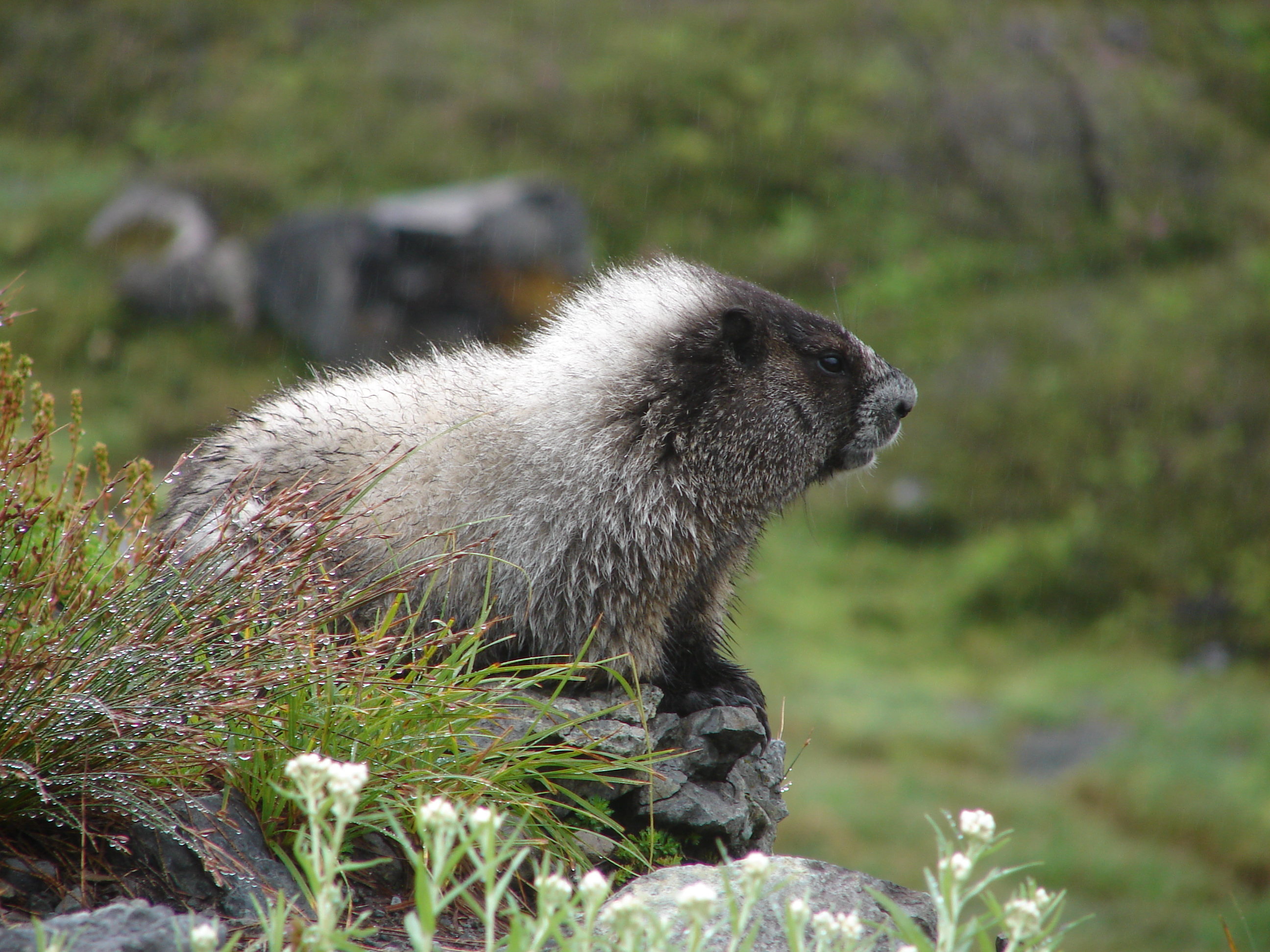
Marmot in Morning Dew
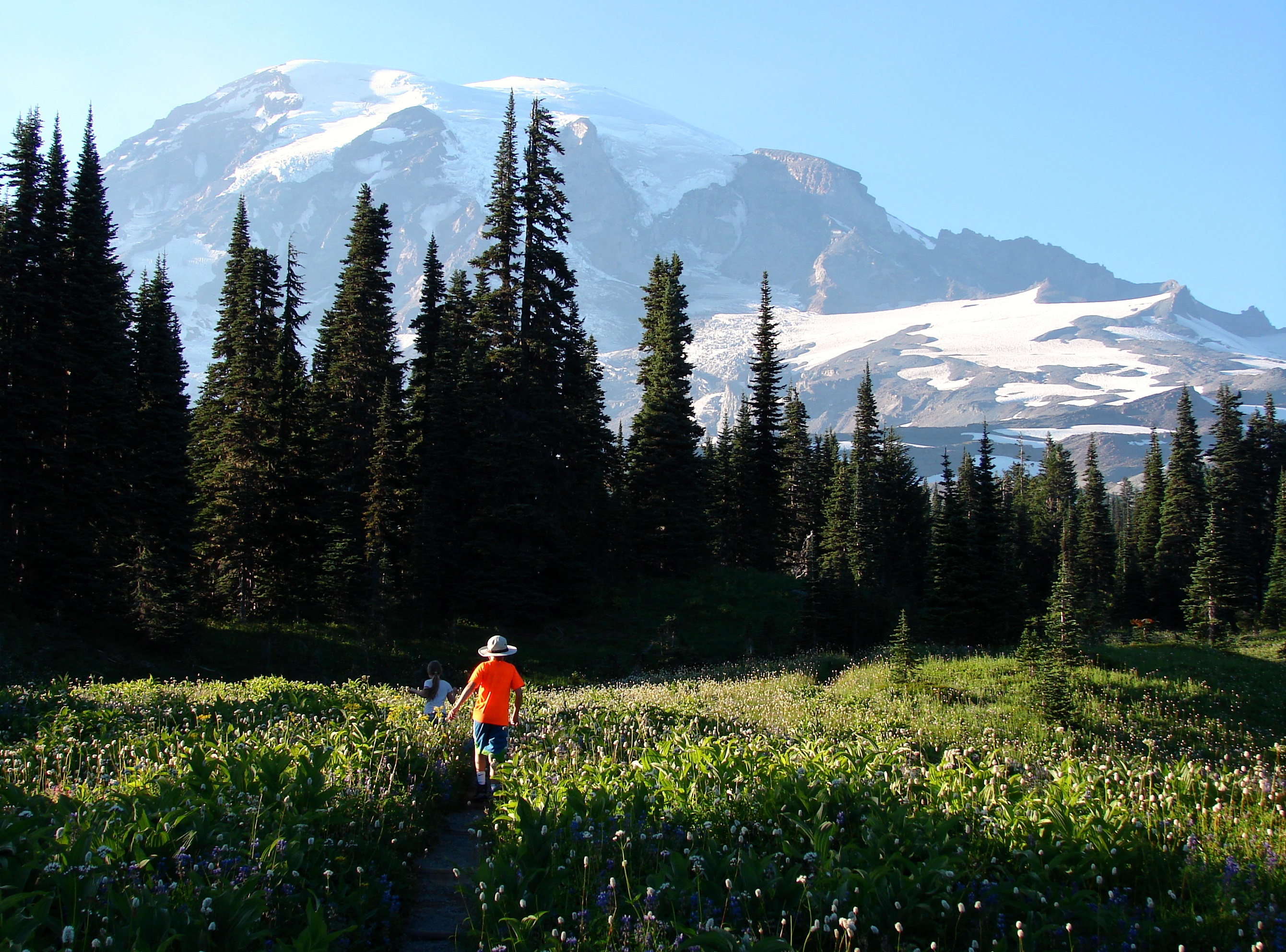
Kids Hiking Through Wildflower Meadow
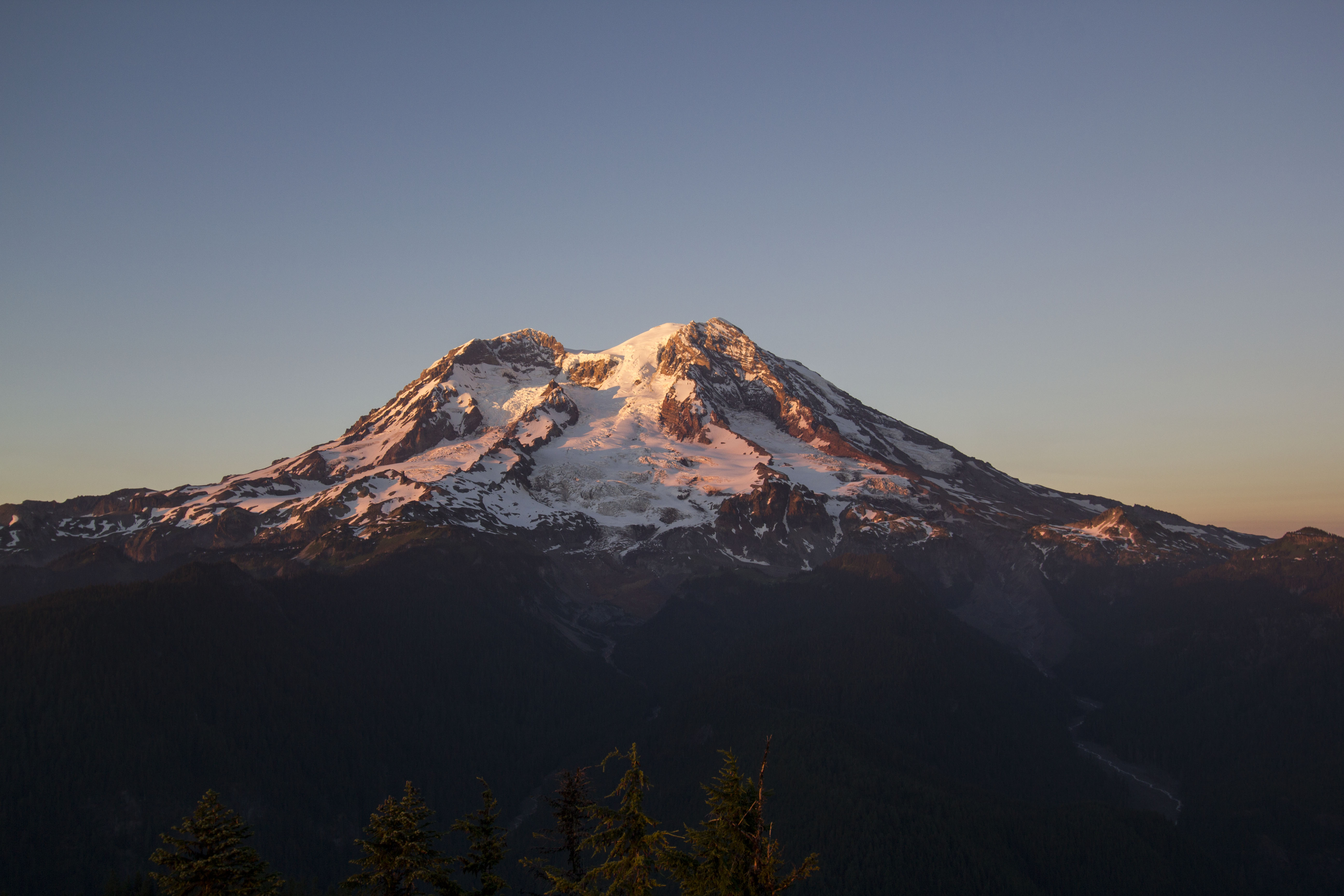
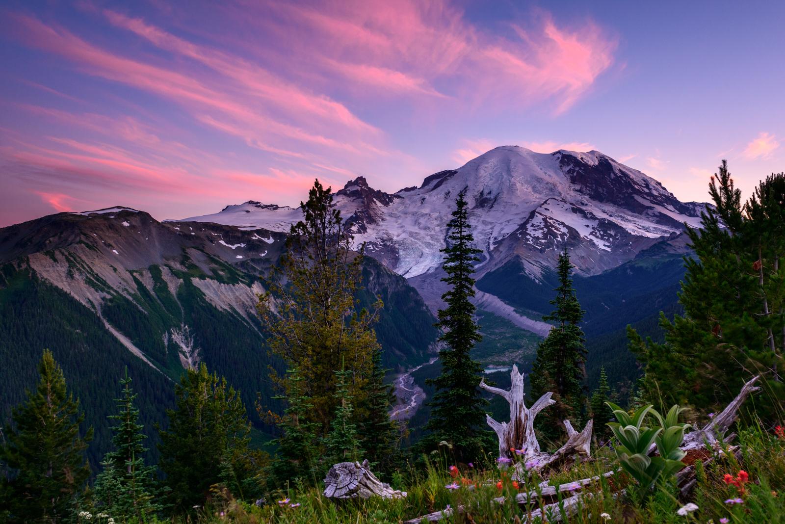
Mount Rainier at sunset
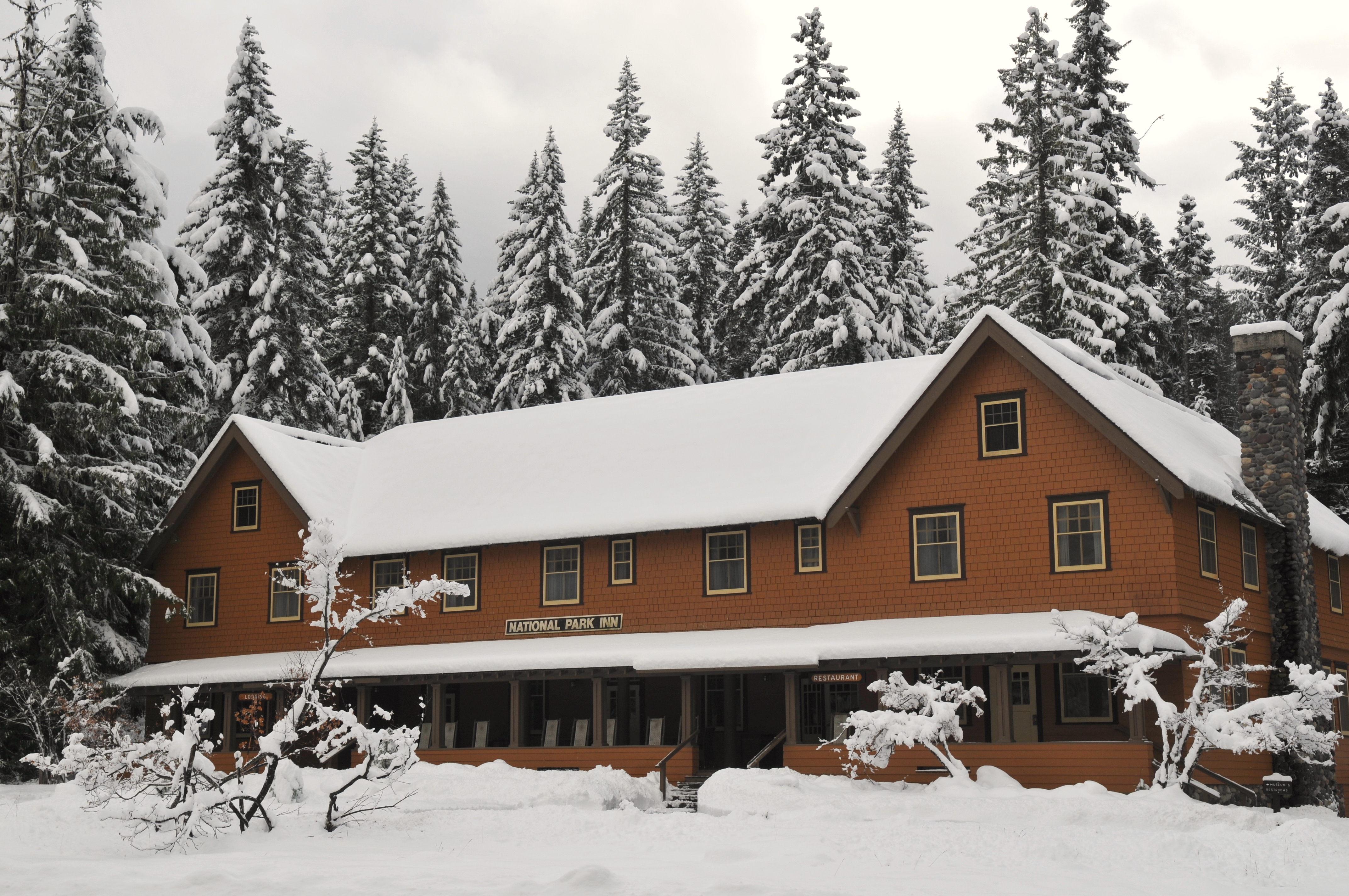
National Park Inn in Winter
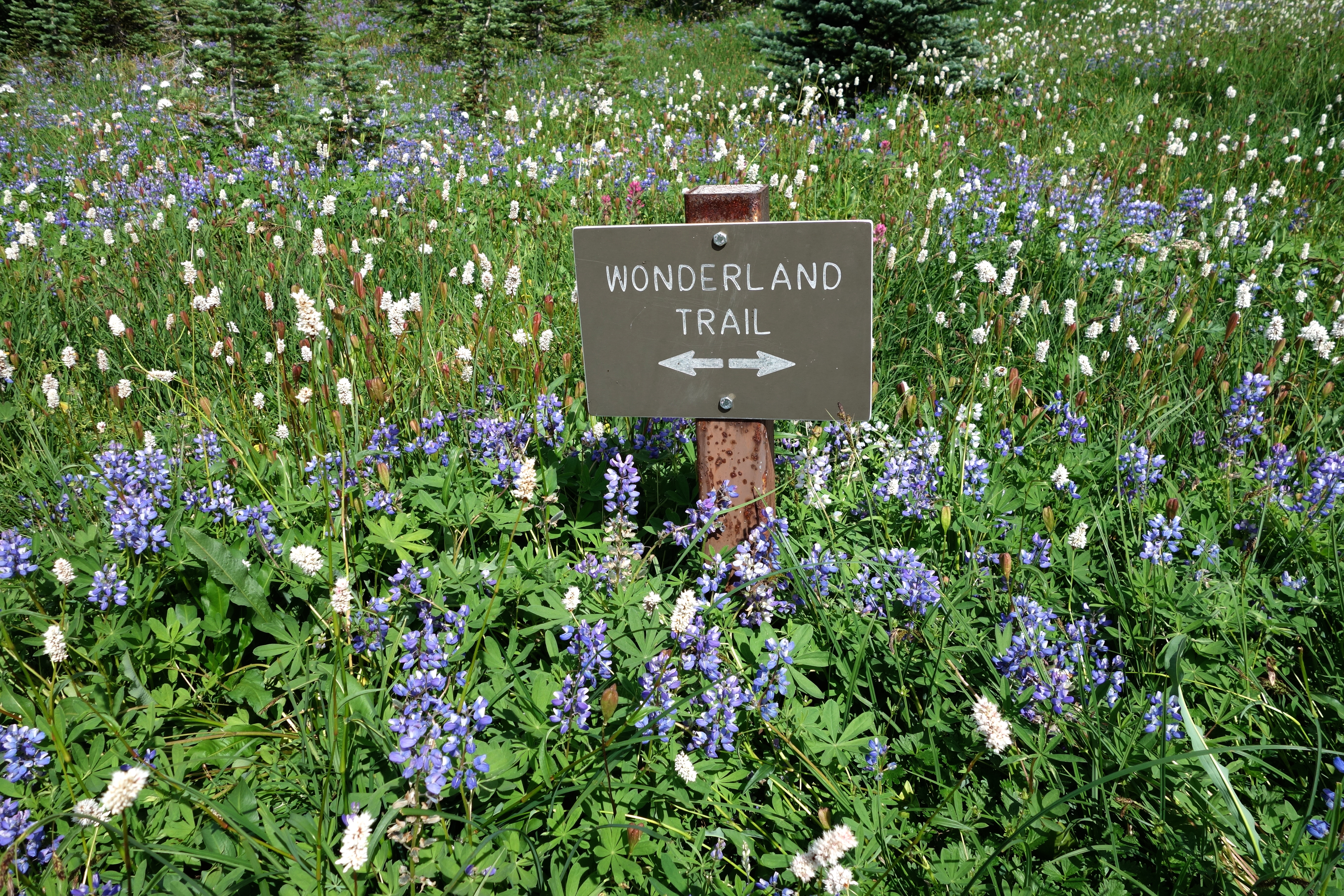
Wildflower Meadow Along the Wonderland Trail
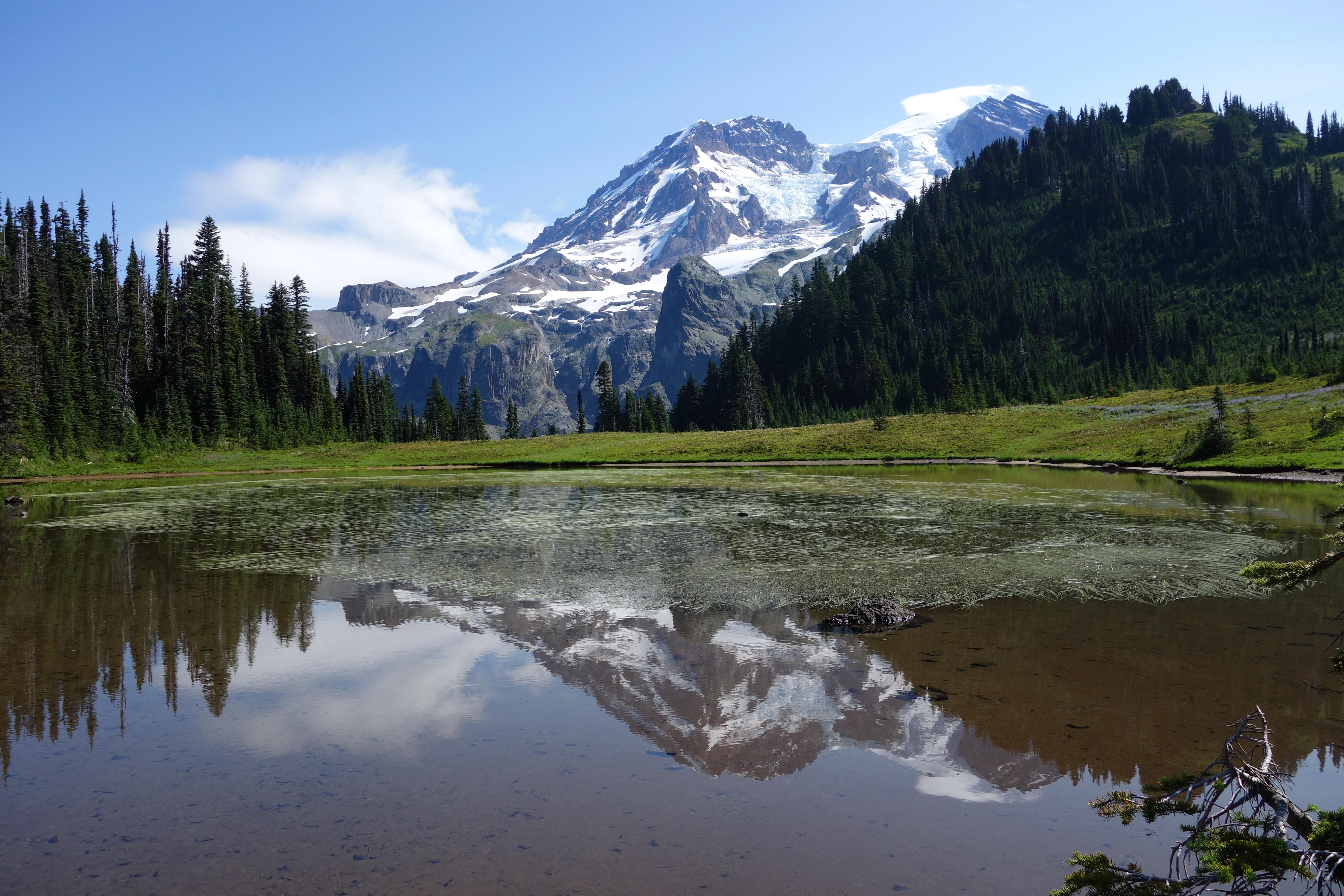
Mount Rainier from Aurora Lake
Alerts
Weather forecast
Air Quality
To-Do Activities
- Auto and ATV
- Scenic Driving
- Astronomy
- Stargazing
- Biking
- Camping
- Backcountry Camping
- Car or Front Country Camping
- Group Camping
- Climbing
- Mountain Climbing
- Fishing
- Freshwater Fishing
- Food
- Dining
- Picnicking
- Guided Tours
- Self-Guided Tours - Walking
- Self-Guided Tours - Auto
- Hands-On
- Citizen Science
- Hiking
- Backcountry Hiking
- Front-Country Hiking
- Living History
- Junior Ranger Program
- Skiing
- Snow Play
- Snowmobiling
- Snowshoeing
- Wildlife Watching
- Birdwatching
- Park Film
- Museum Exhibits
- Shopping
- Bookstore and Park Store
Things to explore
Sorry, Not have any trail or things you can explore
Campgrounds and More
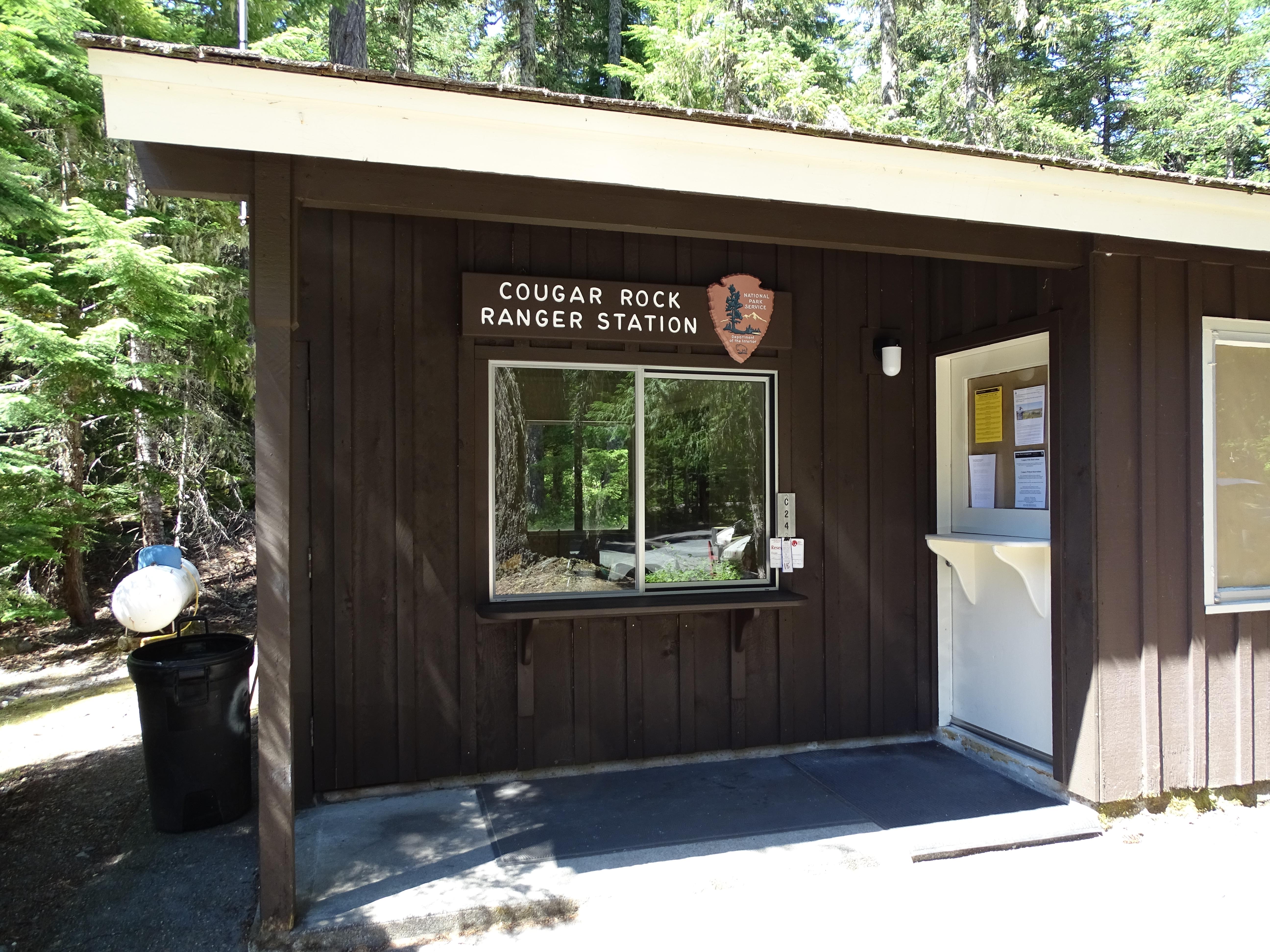
Cougar Rock Campground is located on the south side of the park, on the road between Longmire and Paradise. It is in a steep valley with the Nisqually River across the main road. Thick forest extends through the whole campground providing privacy for campsites. Access to the Wonderland trail is across the road with waterfalls a moderate hike away. Less than 15 minutes of driving can take you to the trails and facilities at Longmire or Paradise.
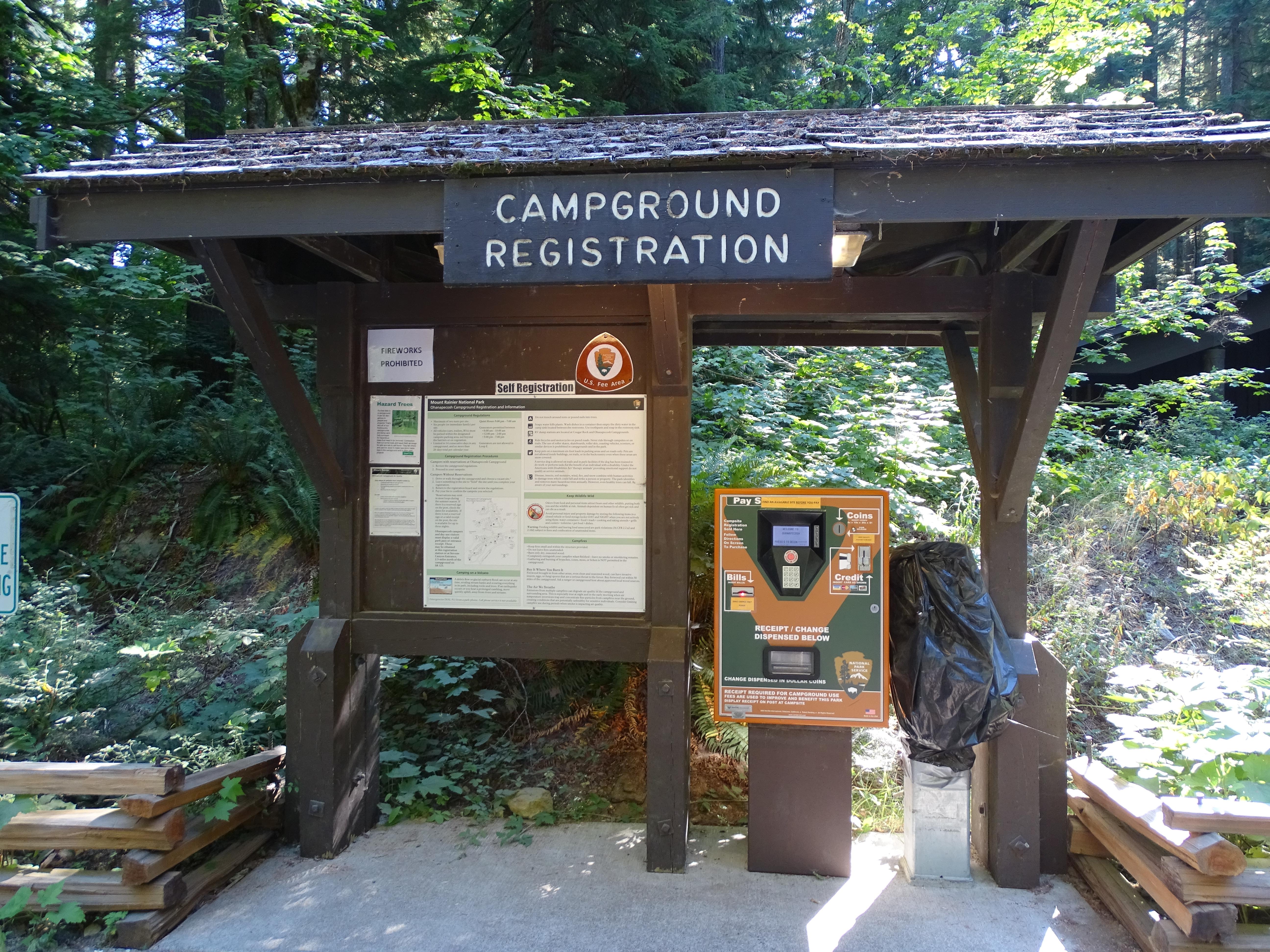
NOTE: The Ohanapecosh Campground will be CLOSED for the summer of 2025 as part of the Ohanapecosh Campground rehabilitation project. Ohanapecosh Campground is tucked in the forest along the banks of the Ohanapecosh River at an elevation of 1,914 feet. It is located in the southeast corner of the park along State Route 123. Trails that begin at the campground lead to Silver Falls and the Grove of the Patriarchs. Stop by the Ohanapecosh Visitor Center for information and exhibits.
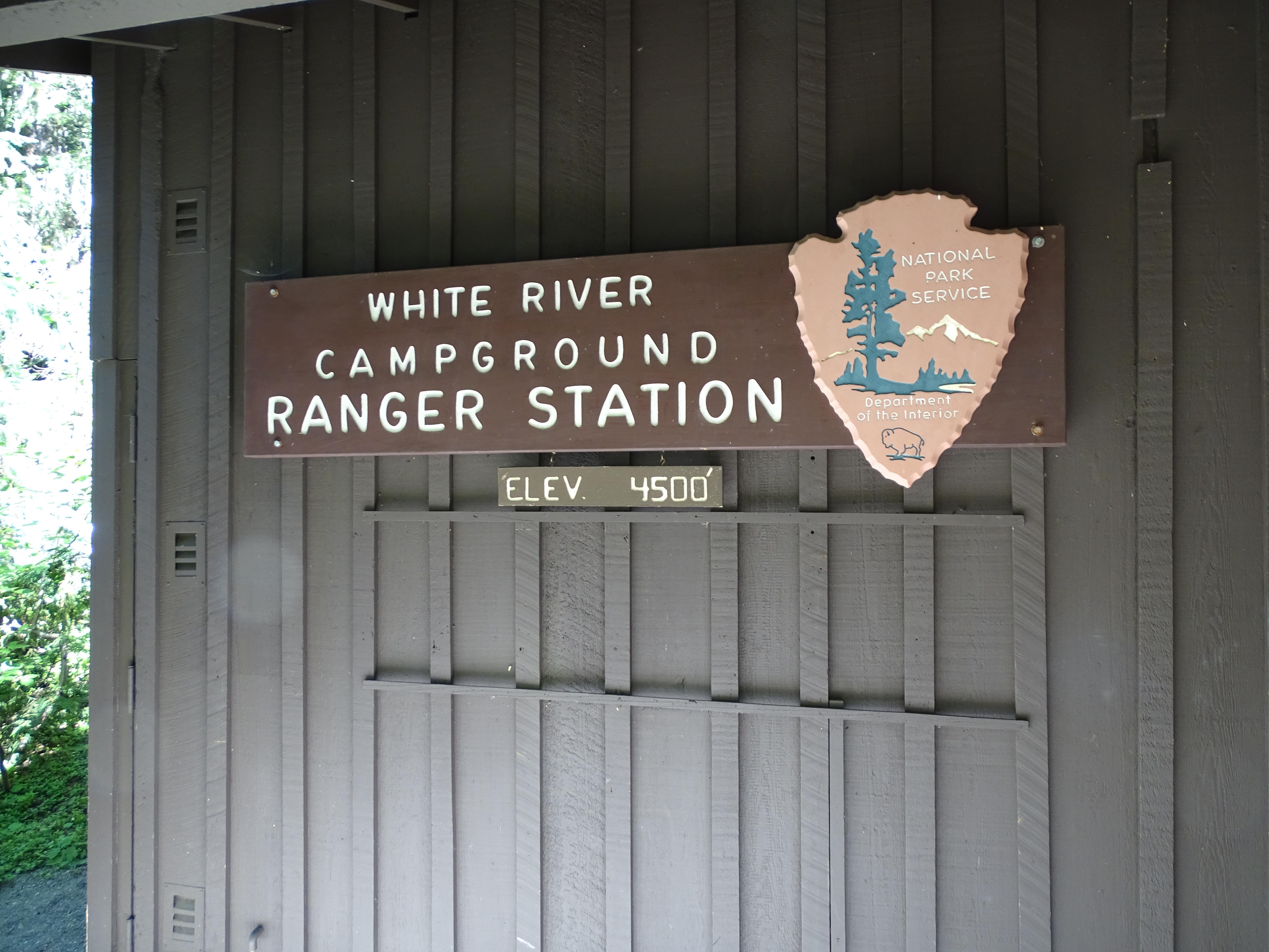
Located on the eastern side of the park below Sunrise, White River campground takes its name from the river flowing beside it. Tucked into a steep canyon, curves can be tight. When open for the summer, it is always first-come, first-serve. The Wonderland trail runs through the campground on its way up to Sunrise or Summerland.
Standard Park Information
Standard Opening Information: In summer, travelers coming from the north can enter the park using SR410, which connects to SR123 and turns east at Cayuse Pass. Entrance open late May to early November, 24 hours a day. No fee station; purchase pass at the next available staffed entrance.
Park Directions Information: Mount Rainier National Park is located in west-central Washington state. Several major cities in Washington- Seattle, Tacoma, and Yakima- and Portland, Oregon, are within 200 miles of the park. For GPS to Nisqually Entrance use: 39000 State Route 706 E, Ashford, WA 98304.
Directions URL
Our Operating Hours
Weather Specific Information
Weather patterns at Mount Rainier are strongly influenced by the Pacific Ocean and elevation. The climate is generally cool and rainy, with summer highs in the 60s and 70s. While July and August are the sunniest months of the year, rain is very likely in spring, fall, and winter. Visitors should be aware that mountain weather is very changeable. In the higher elevations, like Paradise, winter can last from November to May with many feet of snow on the ground.